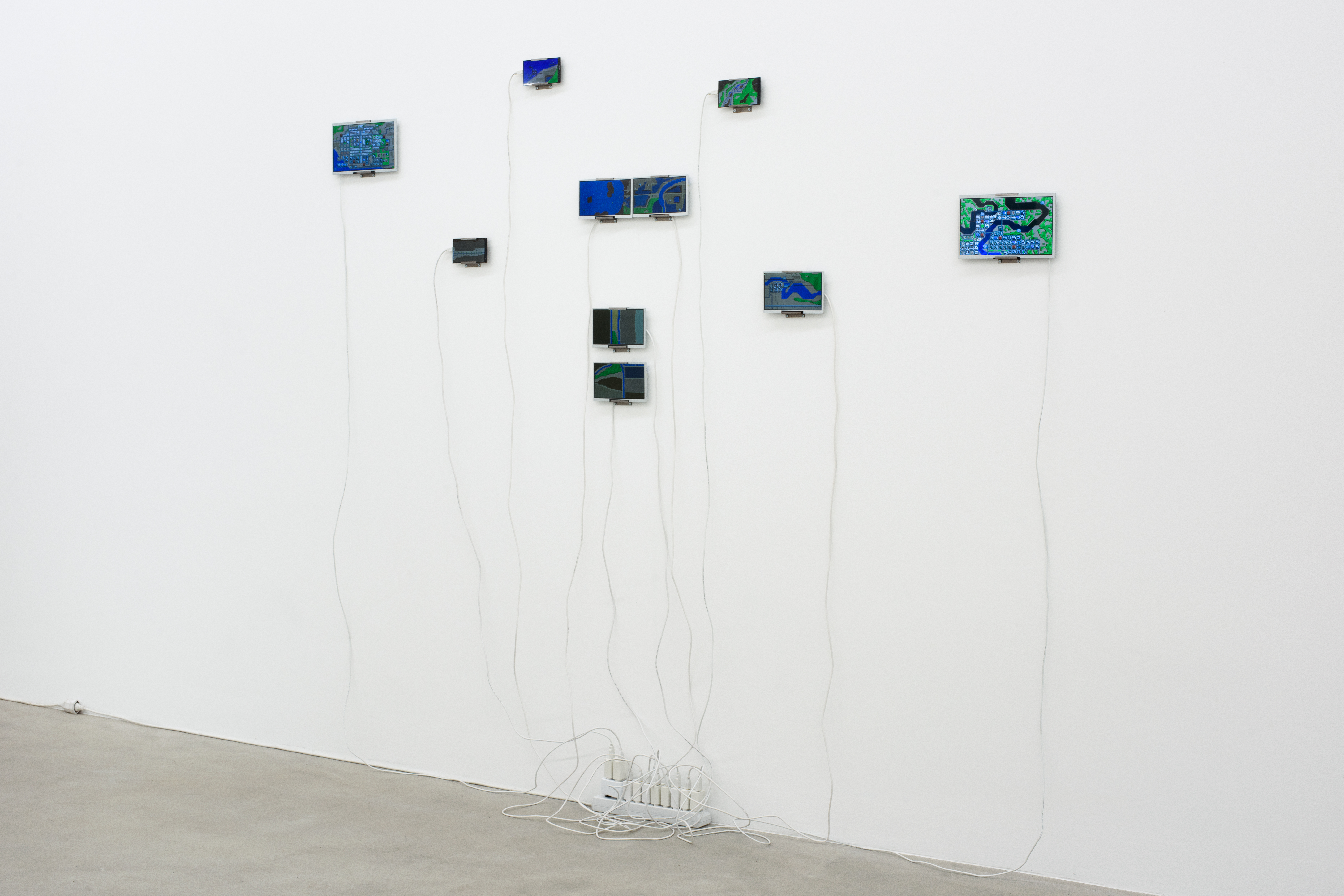
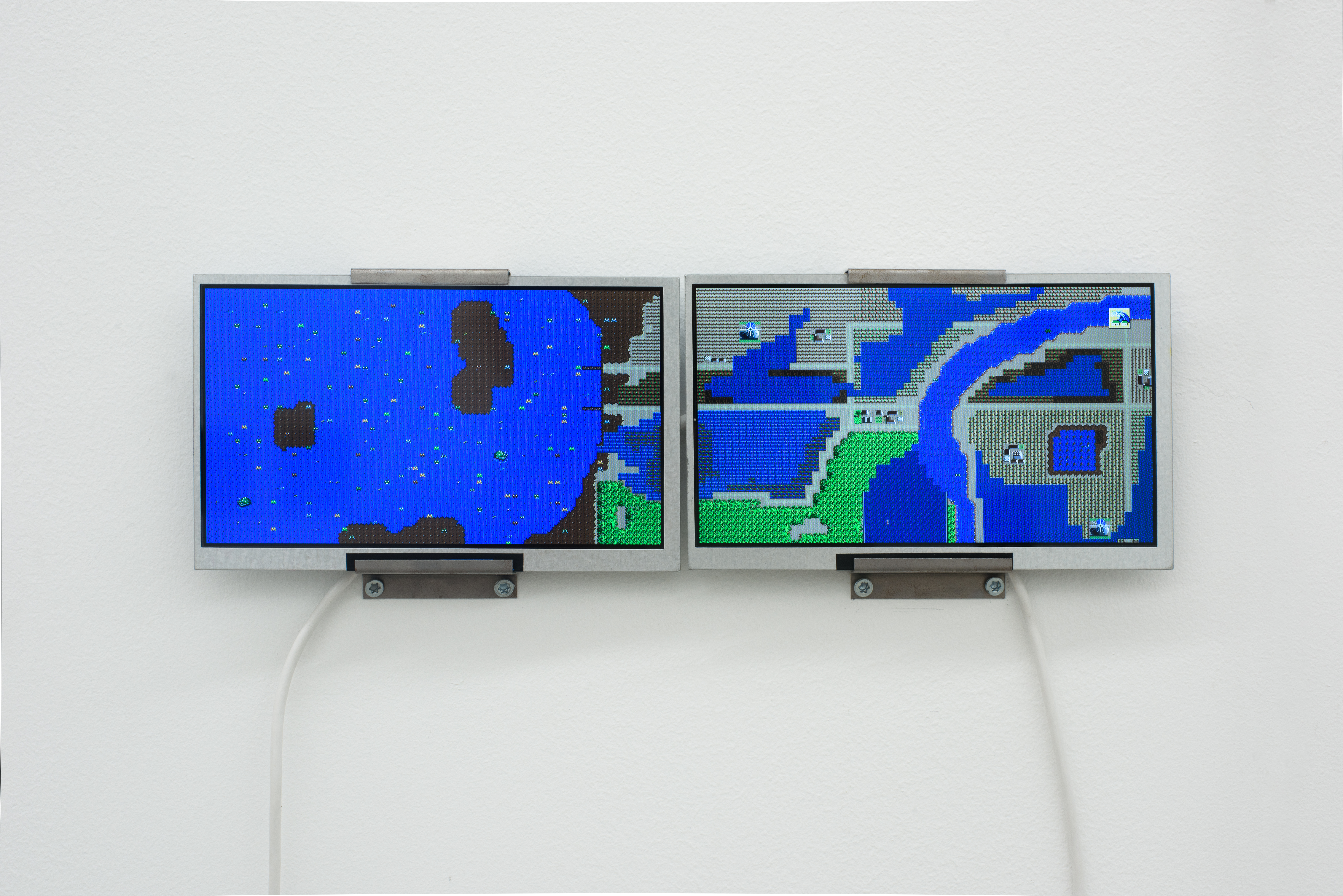
©photo: Christian Knörr, exhibition view of ANOTHER BIRTH «Next Generation» at Kunsthaus Baselland
Multi-channel installation, LCD screens, modified SimCity ROM, white USB cables / august 2026
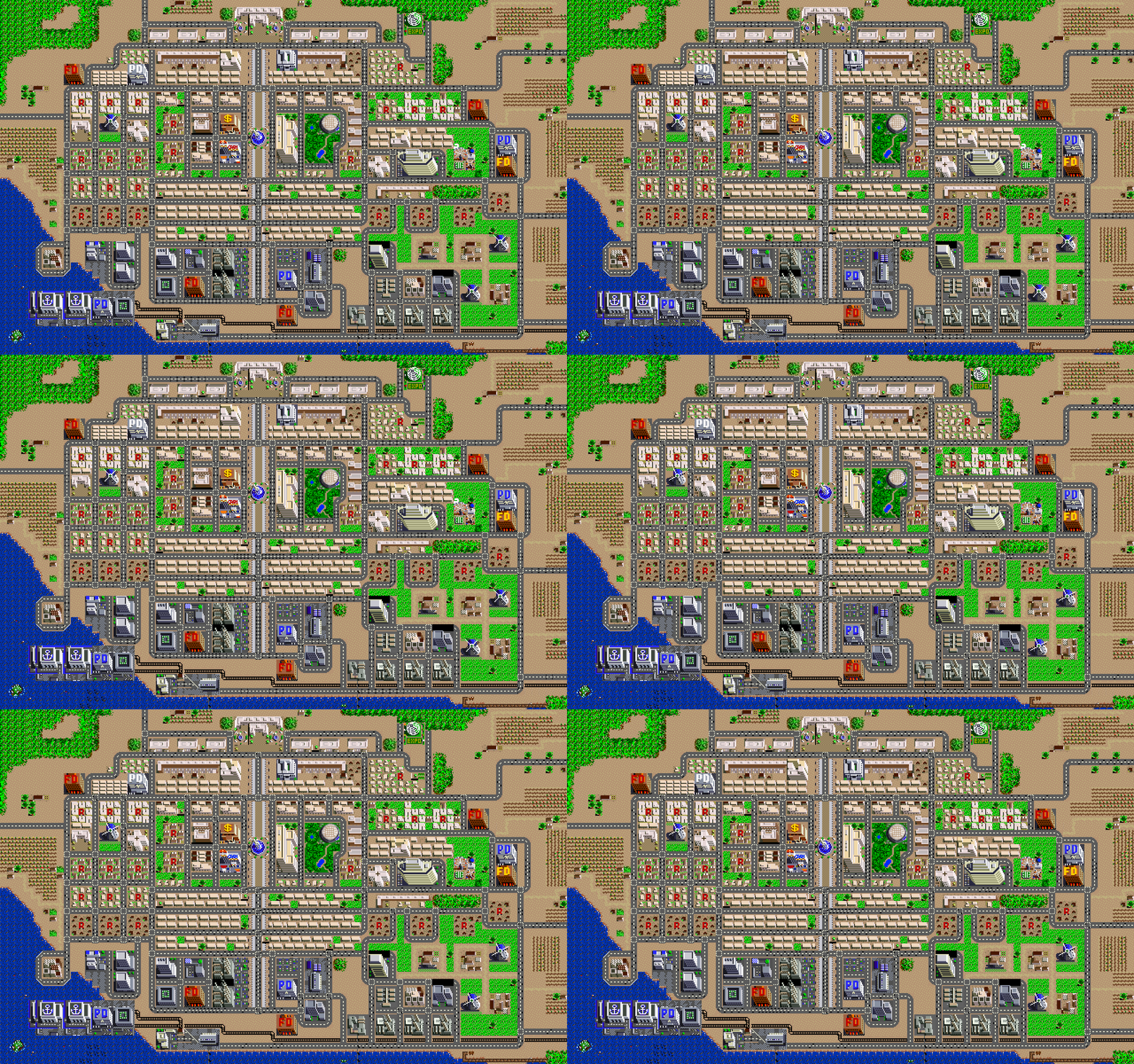
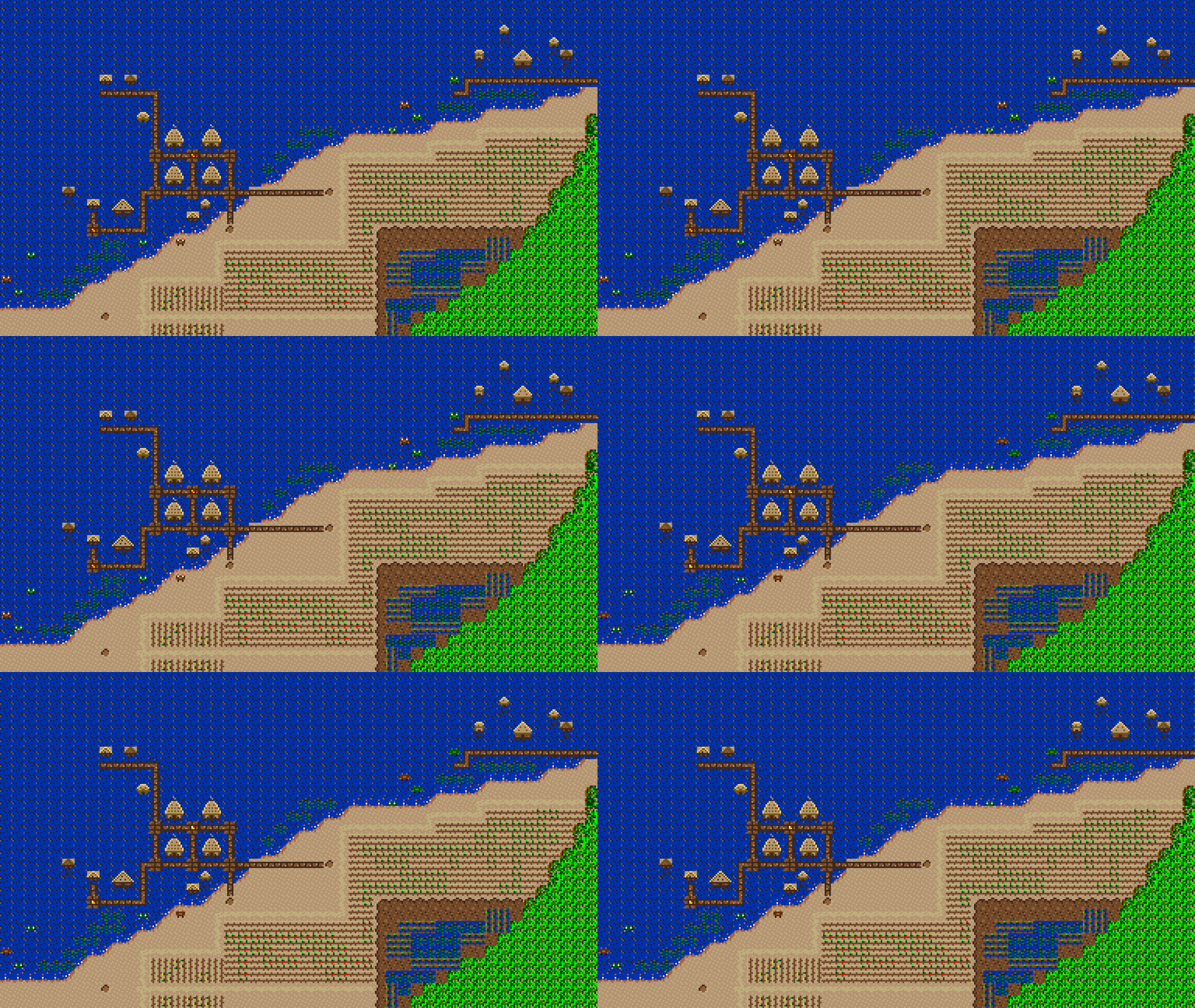
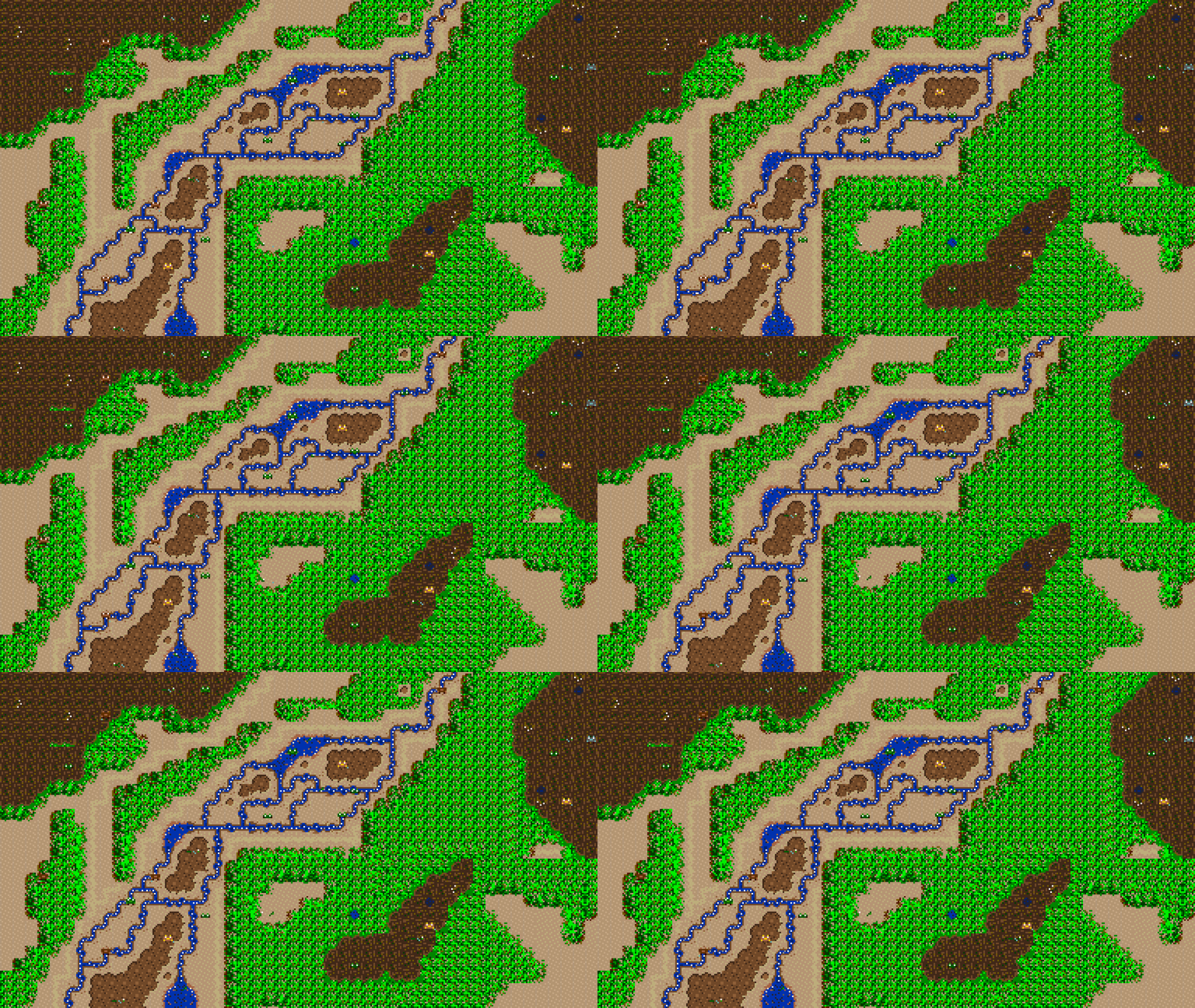
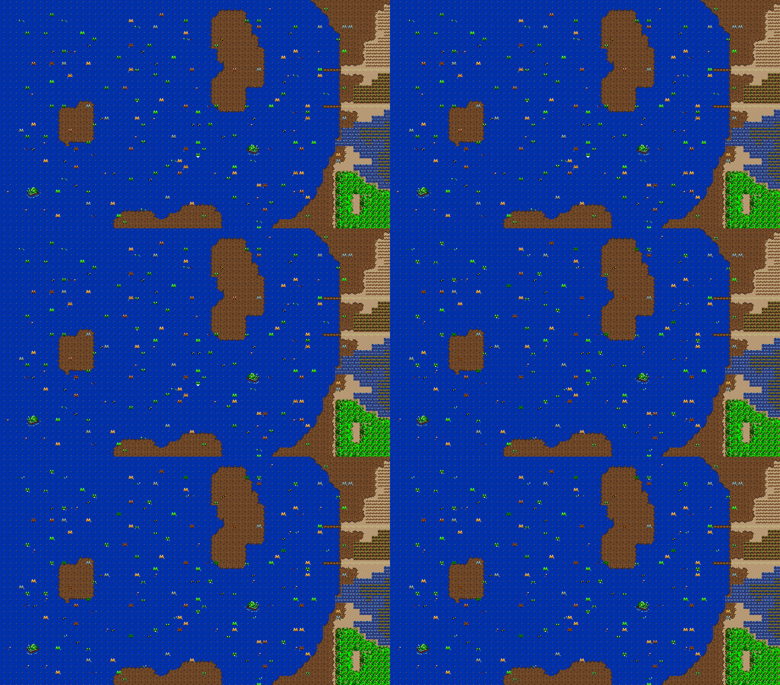
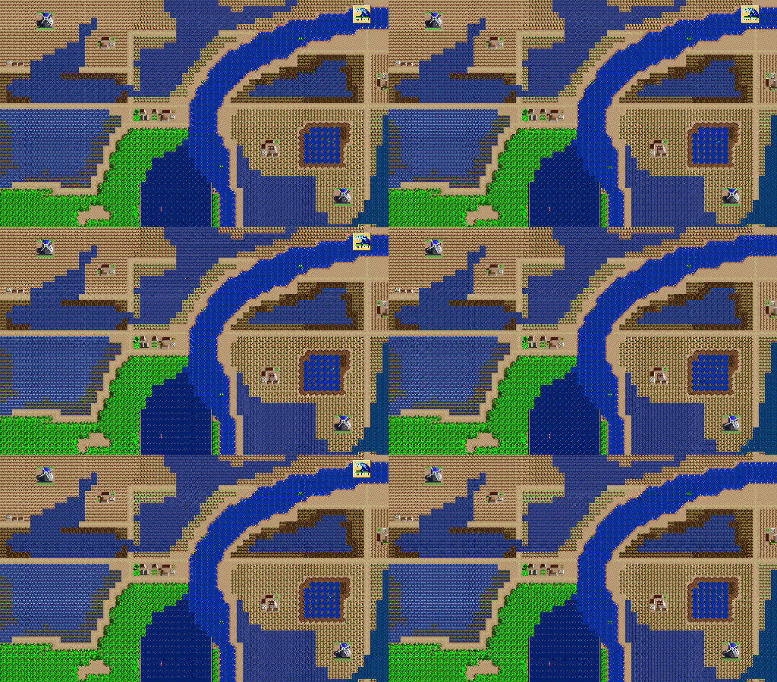
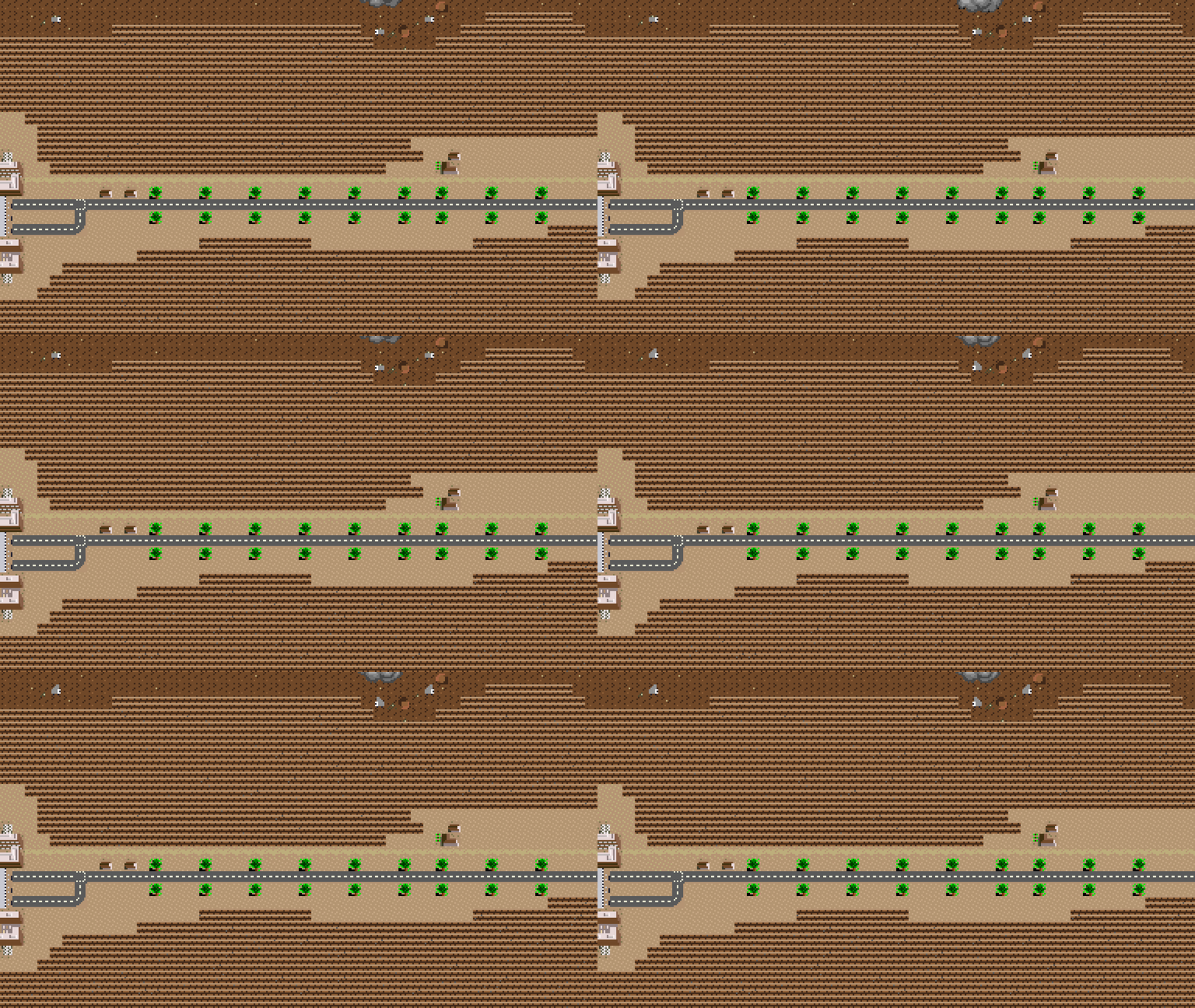
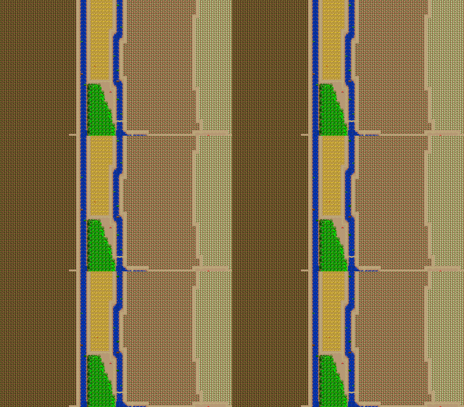
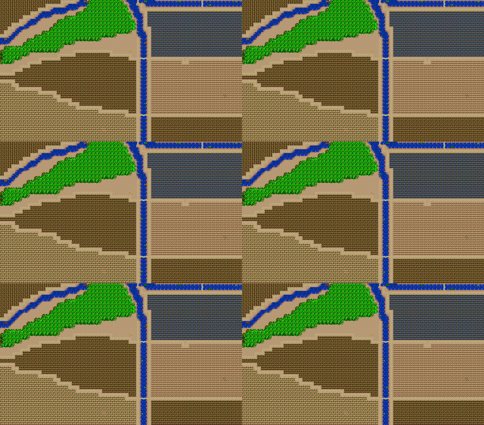
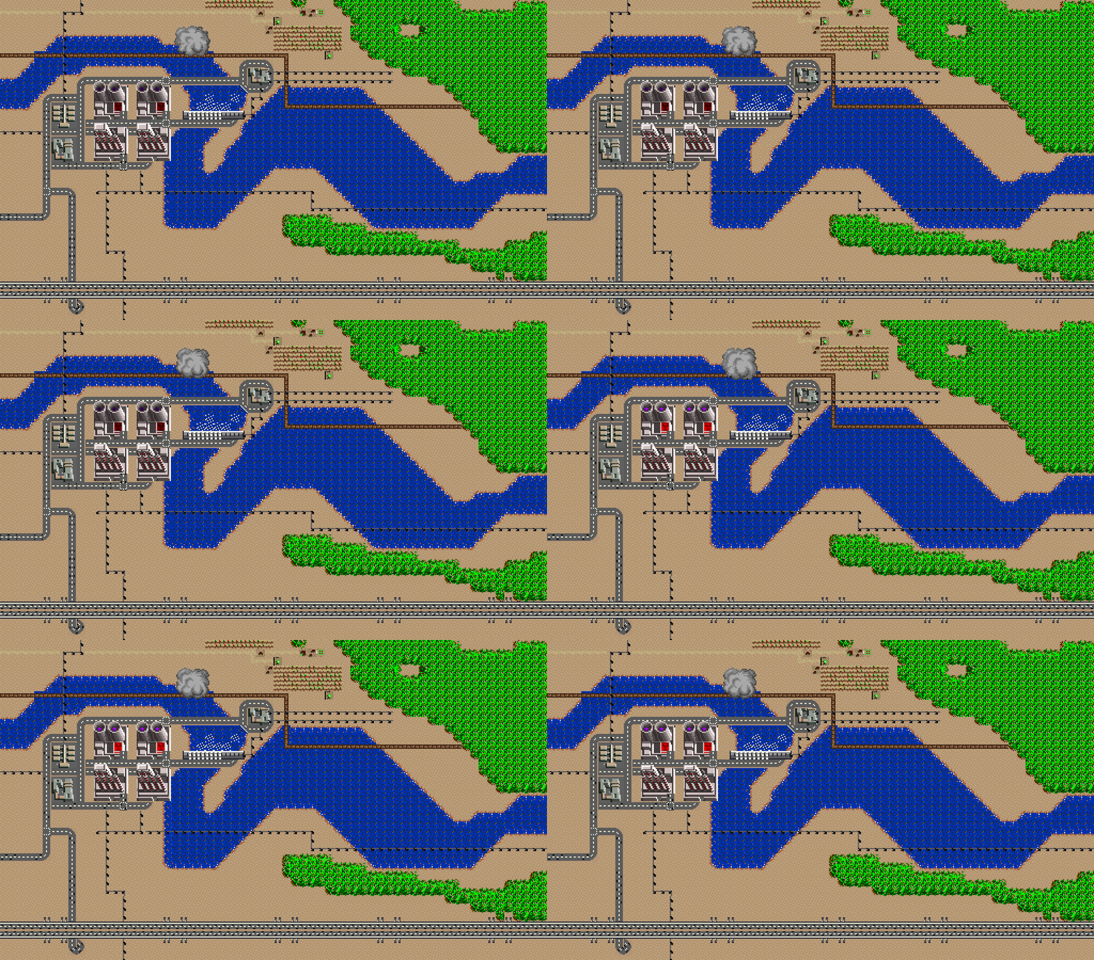
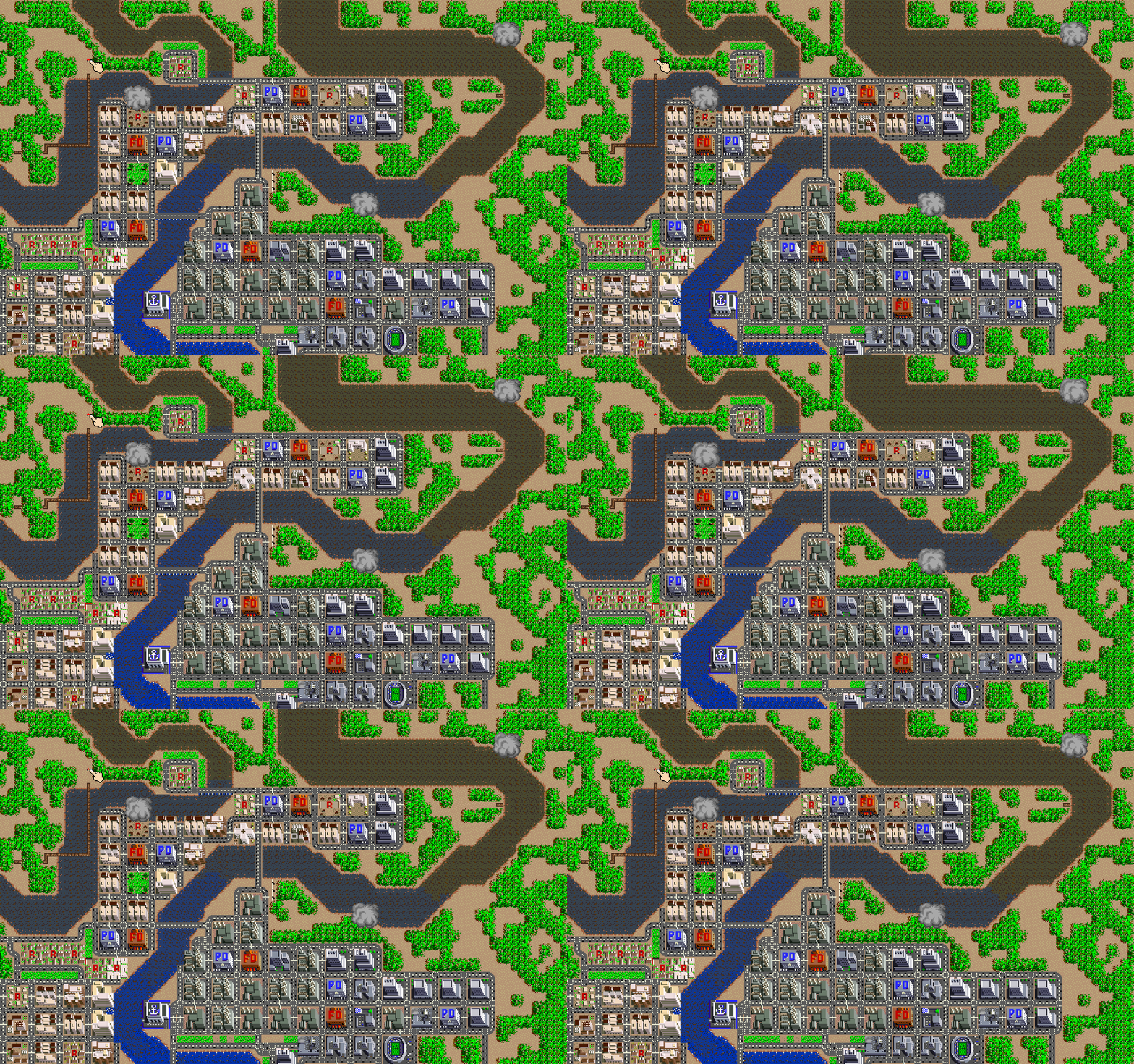
The installation displays excerpts from a map of the Aare River basin and Bernese Seeland. Individual game-maps are presented as sections from the 1991 SimCity video game. They are positioned to correspond with their "actual" geographical locations on a physical map.
 After completing Level 1 in SimCity, the earthquake scenario in San Francisco around 1906, Level 2 follows: Bern, 1965. Bern faces a traffic crisis that players must resolve through skillful redesign of the road network. This proves particularly challenging in Bern, as the Aare winds through the city in multiple loops, dividing the urban area into separate sections.
The integration of a swiss traffic scenario from the 1960s that players are meant to resolve in a 90s videogame may appear somewhat arbitrary at first glance, but it is grounded in historical fact. In early 1962, Bern actually hosted a discussion about making the city "automobile-friendly." Street tracks were to be removed, roads widened, and a highway bridge built through the center of the city. These plans were ultimately rejected by the city's population. The idea persisted within the 1991 SimCity game and now offers a kind of alternative-historical perspective on that proposal. In-game, Level 2 is completed most successfully when interventions are made to the Aare's flow. Interventions of the kind the Aare region has repeatedly experienced over two centuries. In part through the Jura-Water-Correction, the region was systematically drained. While agriculture benefited from this temporarily, it now faces desiccated, subsiding soils.
The work SimCity: Melioration thus examines further possible scenarios in the region—partly historical and alternative-historical scenarios, partly contemporary ones—that have involved interventions in the watershed landscape. Where once a vast wetland with millions of frogs existed, today stand "drained" vegetable fields with geometrically drawn water channels (designed to secure irrigation while protecting against floods), built on "fertile" peatsoils that continue to dry out due to climate change and now represent flood risks.